Drone photography in Mexico: a guide and regulations for real estate and architecture
When an aerial shot completely changes a listing or a portfolio, what Mexican regulation requires to fly legally, and what it costs.
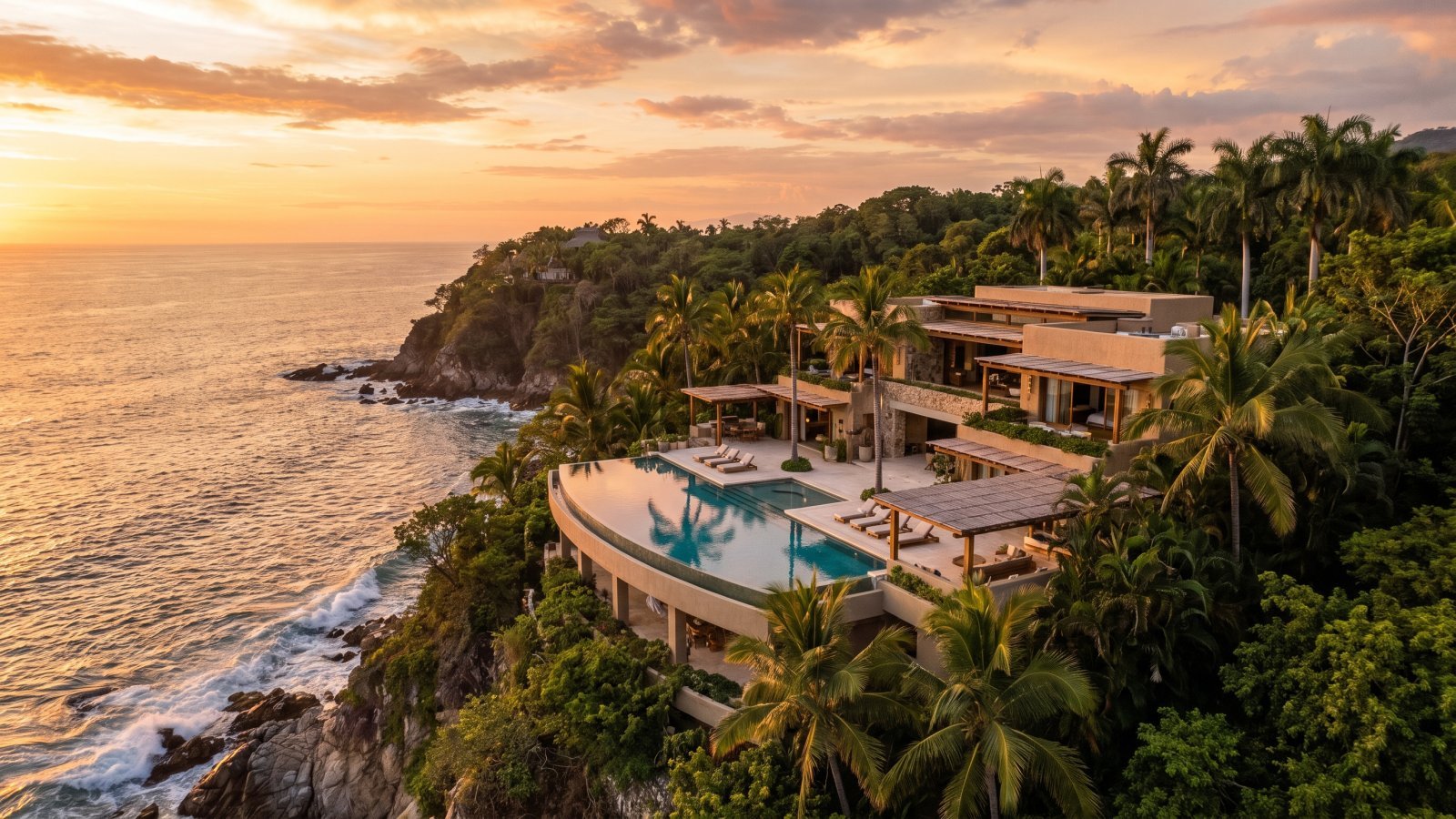
There's one question a single photo answers better than anything else: where is the property? An aerial shot answers that better than any description, any embedded map, any gallery of interiors. That's why on the coast, in developments and on undeveloped land, drone photography has stopped being an extra and become, in practice, mandatory.
This guide covers when it's worth it, what it takes to legally fly a drone in Mexico, and what it costs to add to an architecture or real estate shoot.
When an aerial shot genuinely changes the result in architecture
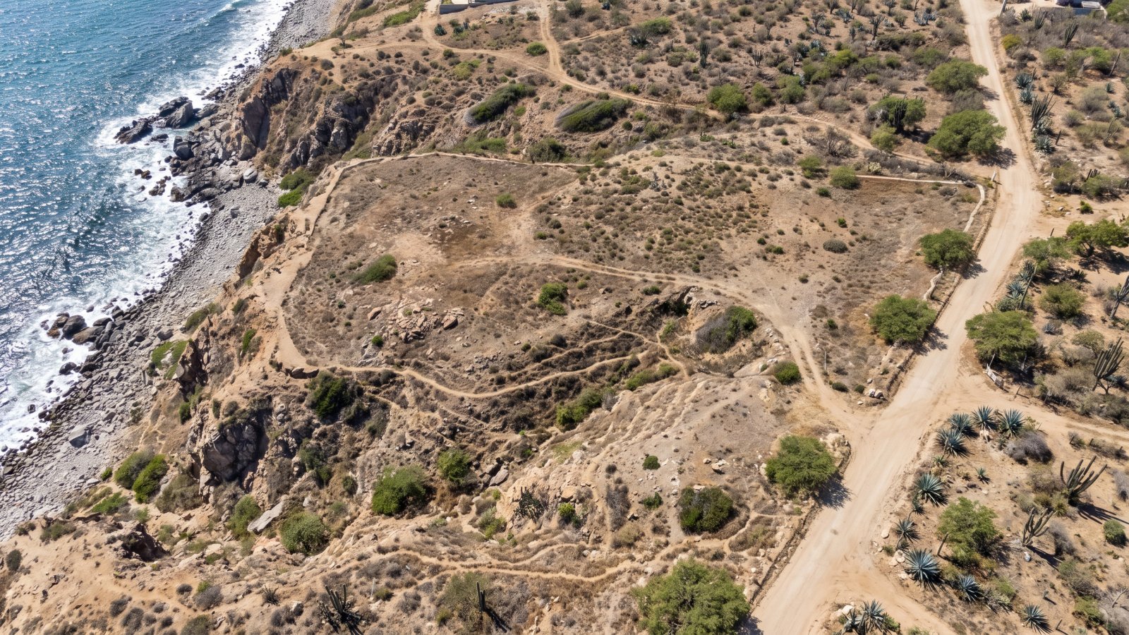
- Undeveloped land and lots. This is the worst-photographed category in the market and where a drone pays off the most: it shows the shape of the lot, its boundaries and surroundings — nothing shot from ground level can explain that.
- Oceanfront or view properties. The relationship between the house and the landscape — the bay, the mountains, a golf course — only makes sense from above.
- Developments and residential communities. A single aerial shot communicates scale, amenities and relative location to the beach or downtown more efficiently than a full ground-level gallery.
- Hotels and resorts. The aerial view of a pool, gardens and beachfront is almost always the cover image on Booking and Expedia.
- Large-scale architecture. Buildings where massing and relationship to the urban context only read from an elevated perspective.
On the other hand, a city apartment interior or a house without a relevant view rarely benefits from an aerial shot — there, the budget goes further on interior coverage.
Regulation: what it takes to legally fly a drone in Mexico
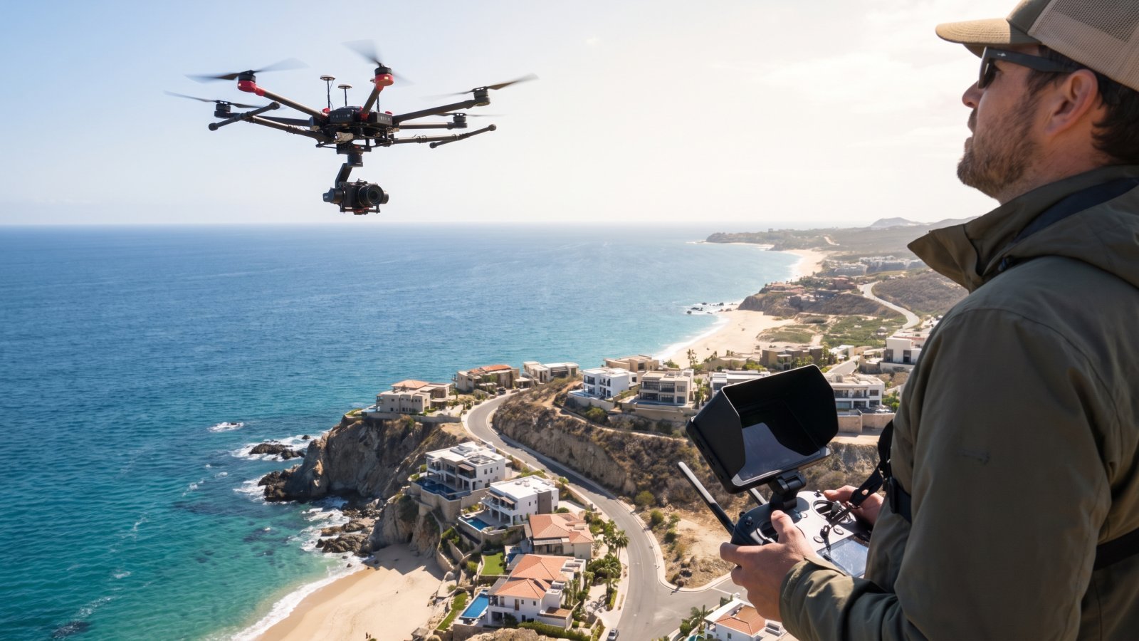
Mexico's Federal Civil Aviation Agency (AFAC) regulates drone (RPAS) use. Before hiring aerial photography for your project, it's worth knowing what the operator has to comply with:
- Equipment registration with AFAC, mandatory for commercial operation.
- Weight-based restrictions. Equipment used in professional photography (typically 2–25 kg) has different requirements than recreational drones under 250 g.
- Restricted zones near airports. In cities with active air traffic — Puerto Vallarta and Guadalajara among them — there are exclusion radii where flying requires prior authorization or is outright prohibited.
- Maximum flight altitude, generally capped at 122 meters (400 feet) above ground level unless special authorization is granted.
- Commercial liability insurance, which any serious provider should carry and keep current.
- Additional local restrictions in certain developments, beaches or protected natural areas, worth verifying before booking.
The types of shots a drone produces
- Nadir / top-down. A straight-down view, ideal for showing the exact shape of a lot or the layout of a development.
- Oblique. At a 30–45 degree angle, the most common for properties: it shows the building and its immediate surroundings legibly.
- Establishing shot. A wide frame that places the property relative to the town, the beach or a neighboring development — it answers "where is it" before any other image does.
- Blue hour. Combining an aerial flight with sunset light, once a property's lights are on, usually produces the single strongest image of the entire shoot.
Real estate and land: the case where drone photography is indispensable
Selling an undeveloped lot with a ground-level photo — weeds, a sign, maybe a wall — is the surest way to get zero clicks. An aerial shot answers three questions every serious buyer asks first:
- How big is it and what shape is it? A nadir shot shows that unambiguously.
- What can be built there? Aerial context helps a buyer imagine the footprint of a house or development.
- How do you get there? The access road and nearby infrastructure are visible from above in a way no description replaces.
What it costs to add a drone to your shoot
Drone photography: fee
Aerial photography is quoted as an add-on service on top of the base architecture, real estate or interiors package, depending on what the project needs.
Add-on services
These apply to every category and are added on top of the session fee.
| Service | Fee (MXN) |
|---|---|
| Aerial drone photography | From $2,500 |
| Styling / props | On request, quoted separately |
| Companion video (reel / walkthrough) | From $17,500 |
| Usage licence — print advertising and campaigns | $26,000 |
| Unlimited / extended commercial licence | $52,500 |
- Fees cover the creative rate (shoot + editing). The usage licence is agreed separately, based on where the images will finally be published.
- There may be an adjustment within each range depending on the size of the client, the logistics involved (travel, number of sessions) and whether the project targets the domestic or the international market.
For projects that need both aerial photo and video, it's worth reviewing the drone + video package, which combines both formats in a single visit and a single flight. The full rate card is at 2026 pricing.
Drone photography city by city
We work out of Puerto Vallarta and Guadalajara, with standing coverage across the Bajío region. Open your city’s page to see how we adapt drone photography to your project:
- Drone photography in Puerto Vallarta
- Drone photography in Guadalajara
- Drone photography in Querétaro
- Drone photography in Aguascalientes
- Drone photography in León
- Drone photography in Guanajuato
- Drone photography in Celaya
- Drone photography in Irapuato
- Drone photography in San Miguel de Allende
Is your project somewhere else? We cover the whole country, with travel quoted separately: tell us where it is.
Frequently asked questions about drone photography
How much does aerial drone photography cost?
It's quoted as an add-on service starting at $2,500, added to the base architecture, real estate or interiors package. The full rate card is at 2026 pricing.
Is it legal to fly drones for commercial photography in Mexico?
Yes, as long as the operator is registered with the Federal Civil Aviation Agency (AFAC), complies with zone and altitude restrictions, and carries current commercial liability insurance.
Can you fly near airports like Puerto Vallarta or Guadalajara?
There are exclusion radii around airports where flying requires prior authorization or is prohibited. We confirm the zone before quoting the flight to check whether any restriction applies.
Does a drone replace ground-level photography?
No, it complements it. Aerial answers "where is it" and "how big is it"; ground-level photography answers "what does it feel like to be in the space." A complete project almost always needs both.
How much time does the aerial shot add to a session?
Usually 20 to 40 extra minutes within the same visit, unless you're after the blue-hour shot, which requires coordinating the flight right at sunset.
Do you also shoot aerial video, not just photography?
Yes, as part of the drone + video package, which covers aerial photo and video in the same flight.
Quote the aerial coverage for your project
Services mentioned in this article
Hotel Photographer
Rooms, amenities and dining that hold up your rate on Booking, Expedia and paid campaigns.
🏛️Architectural Photographer
Corrected perspective: the project you publish, enter into competitions and keep in your portfolio.
🛋️Interior Photographer
Materials, natural light and styling, so your work reads as well on screen as it does on site.
🔑Airbnb Photographer
The first photograph decides the click. Images ready for Airbnb, Booking.com and VRBO.
Xavier Manuel
Architecture, hospitality and interior photographer. He runs Foto de Arquitectura out of Puerto Vallarta and Guadalajara, with productions across Riviera Nayarit, Tepic and the Bajío region.
More from the blog
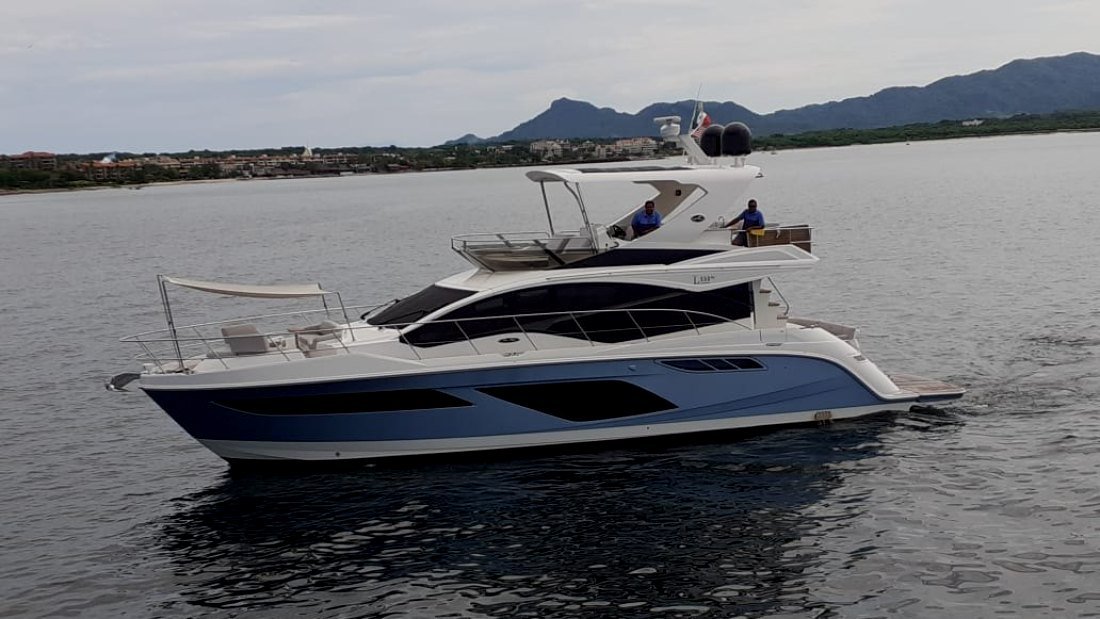 Golden-hour photo charter: Puerto Vallarta from a yachtThe town faces west, so at sunset you only see it head-on from the water. Route, timing, gear, camera settings and which boat to charter to photograph the bay.Read the article →
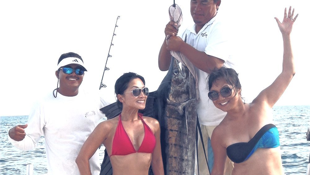 Fishing charter in Puerto Vallarta: what to do when you visitWhat we tell clients who fly in for a shoot and have a free day: go fishing. What a private charter looks like, inshore vs offshore, seasons, costs and how to photograph the day.Read the article →
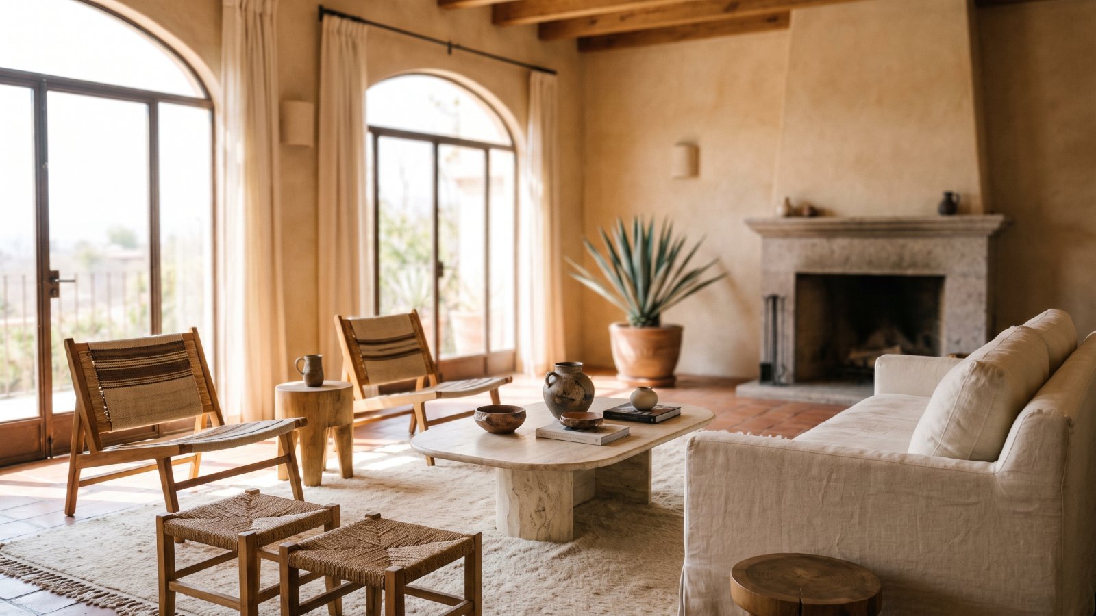 Interior photography: the complete guideHow an interior design project is photographed so it reads in a portfolio and in press exactly as it feels in person: light, styling, framing and what it costs.Read the article →